
When, in 1958, at the request of the US Navy, researchers at Johns Hopkins University in Baltimore in the United States developed the “Transit” navigation system for armed submarines, nobody realised the significance of the invention. Today, an optimised version of the Transit system helps billions of people around the world. With the GPS system you can locate your position, get directions to your destination and track the location of valuable assets. What exactly is a satellite navigation system and what were its origins? Read our article and find out what GPS is and what it is used for.
What is GPS and where did the idea of creating it come from?
The Cold War period between the United States and the Soviet Union was a period of intensive research into technological development. The two superpowers competed with each other in every field that mattered to the economy. It was the Cold War and the space programmes that provided the impetus for inventing technologies we use every day. The defibrillator, magnetic resonance imaging, flame-retardant materials, water purification systems, the HACCP food safety system and anti-skid asphalt surfaces. The creation of a satellite navigation system also proved to be a phenomenal discovery.
How was the GPS system created and what was it used for?
Using special radars launched into Earth orbit (known in technical terms as satellites), the system could determine the precise geographical position and altitude above sea level of any object. From 1960 to 1967 the system was used only for military purposes for the US Navy. The last satellite of the Transit system was launched in 1988. A year later, the first Block II satellite, part of the “Global Positioning System” project, was launched into Earth orbit. Work on GPS began in 1973, so the system was launched after 23 years of testing the Transit system. It currently consists of 31 satellites orbiting the Earth.
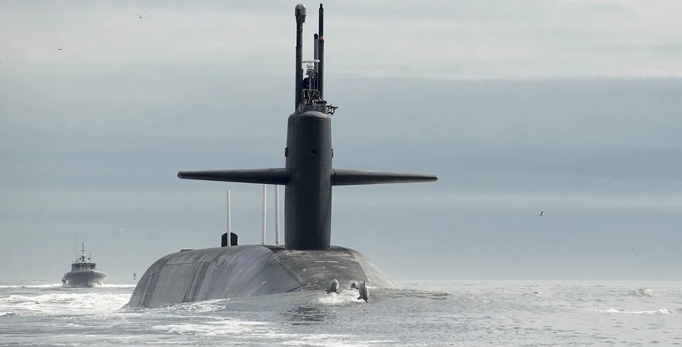
The GPS system used for US Navy purposes
GPS is not the only satellite positioning system
The accepted term “GPS” for the navigation system is not so much wrong as incomplete. Remember that the whole branch of satellite technology is GNSS (Global Navigation Satellite System). Among the solutions offering satellite navigation, GPS is the most popular thanks to being the earliest. Bear in mind, however, that the Soviet Union began developing its own satellite navigation system in 1967, and in 1976, under the decree “On the development of the GLONASS global satellite navigation system”, began building a system that still operates today. In 2000 China launched the first satellite of its Beidou system, and in 2002 the European Union launched the Galileo navigation system.
What do the GPS, GLONASS, Galileo and Beidou systems consist of?
Satellite navigation systems that determine a position on the map consist of three segments: space, ground and user. The space segment is the orbital sphere in which the satellites circle. Their number ranges from 2 (Beidou) to 31 (GLONASS and GPS). As mathematical calculations show, 4 satellites are required to correctly determine an object's position on the map anywhere in the world. The ground system (e.g. the GPS system) consists of 12 stations located evenly along the equator. All the stations are managed by intelligence or military forces. It is in the ground stations that a significant part of the calculations used to determine a location on the map is performed. The last segment is the receivers used by users. They can be found in mobile phones, car navigation units, GPS trackers and so on.
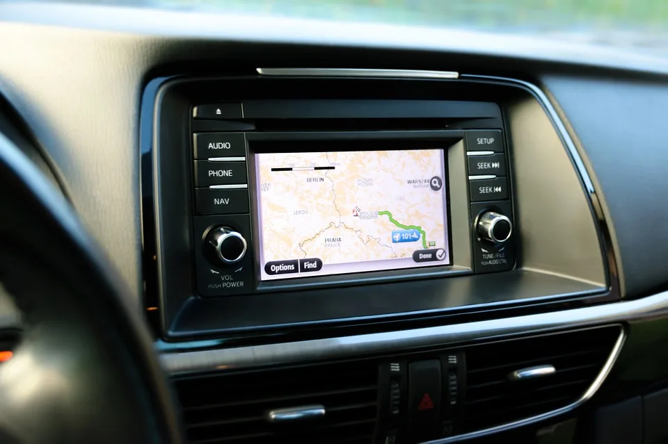
Examples of GPS applications
Satellite navigation is now used across a broad spectrum of the global economy. As for examples of GPS applications, for civilian purposes GPS positioning is used in construction, for example to set out structures and to guide construction machinery. Similar applications exist in surveying, for setting out plots, roads and structures. Specialists in meteorology have reached interesting conclusions. Research has found that the GPS signal propagates at different speeds depending on the concentration of water vapour in the atmosphere. Modern agriculture uses GPS trackers to automate the work of machinery within designated sectors, and modern road and rail transport is covered on a massive scale by GPS tracking, route tracking and real-time management.
Military use of GPS requires far greater reliability and accuracy. The satellite system is used by special forces soldiers to track operators' positions on the map, identify strategic enemy targets and carry out rescue operations. A good example of GPS-based military rescue systems is the Combat Survivor Evader Locator (CSEL) produced by Boeing. The solution lets headquarters locate a soldier's position and make voice calls thanks to a built-in radio.
Summary
What is GPS and what is it used for? The satellite system plays a huge role in the daily functioning of many sectors of the economy around the world. It has made travel easier and reduced migration barriers. Many of its applications underpin entire business sectors. It is worth bearing in mind, however, that satellite systems belong to specific countries (the exception is Galileo, built by the EU countries) and access to them can be cut off at any time. That is why it is so important for separate entities around the world to develop parallel satellite systems.